Exploring Seattle’s Surroundings Without a Car
Seattle is a wonderful city to visit without a car. I know because I have one, and most days, I decide to leave it at home – especially on the days I’m traveling all over town.
The city’s ample and far-reaching transportation options make it easy to explore, even if you wind up in a neighborhood you weren’t expecting to. You don’t have to budget time or money for parking. Kids 18 and under ride our transit systems for free. And let’s be real: you want to try Seattle’s iconic transportation options while you’re here anyway, from the monorail to our state ferries and seaplanes.
I’m a Seattle transit rider and transportation nerd. Here are my recommendations for visitors without cars.
Getting Here | Neighborhoods to Explore | Payment | Itineraries
Getting Here
If you’re flying into SEA Airport, you couldn’t ask for a better connection to the city: the airport’s Link light rail station is an easy, covered walk or roll from the terminal. Trains leave every eight to ten minutes most of the day, and connect to a large and growing network of Seattle’s most enticing neighborhoods (see below). It takes about 40 minutes to get from the airport to downtown, which is quicker and cheaper than rideshare.
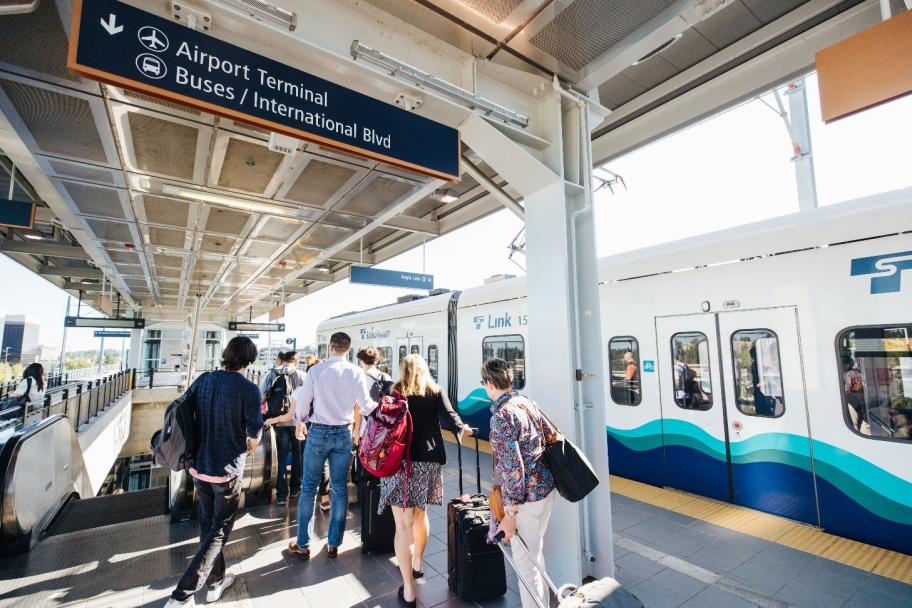
Link light rail is the way to go if you’re landing at SEA Airport. courtesy Sound Transit
Not flying? Consider a train. Amtrak trains arrive at King Street Station every day from Los Angeles, Chicago, Eugene, and Vancouver, B.C. – with more local Sounder trains coming from cities between Lakewood and Everett.
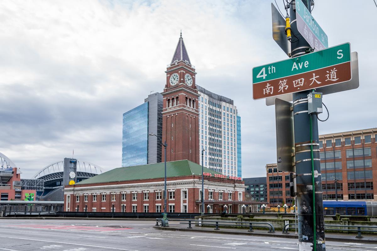
Taking a train to King Street Station puts you right between Seattle’s stadiums, Pioneer Square, and Chinatown-International District – an incredible landing spot. Photographer: Rachael Jones
Bus options also abound, whether you’re looking for long-distance transportation on operators like Greyhound and Megabus, or regional transportation on King County Metro, Sound Transit, Pierce Transit (Pierce County), or Community Transit (Snohomish County).
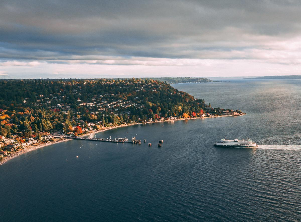
Seattle’s many water transportation options should come as no surprise, with multiple daily ferries to Downtown Seattle from Bremerton and Bainbridge Island, and to Fauntleroy from Southworth and Vashon Island. Water taxis and fast ferries also connect destinations in King and Kitsap Counties, and if you’re coming from Victoria, B.C., consider the FRS Clipper.
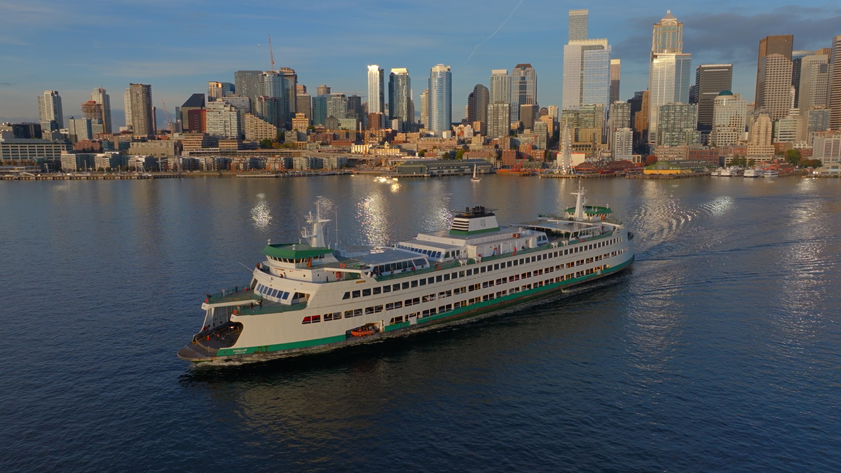
Taking the ferry is a must-do, and a great way to arrive in Seattle.
Arguably, the most incredible way to land in Seattle is by seaplane. Kenmore Air, Harbour Air, and Friday Harbor Seaplanes fly from locations across western Washington and Canada.
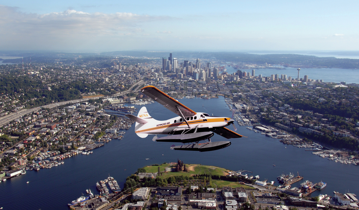
Seaplanes offer unparalleled views of the islands and waterways we’re privileged to call home.
Neighborhoods to Explore
Seattle’s coolest neighborhoods are well-connected to transit. Among them are the downtown neighborhoods served by the Seattle Streetcar, not to mention the broader network of neighborhoods along the Link light rail. If you’ve got some flexibility deciding where to stay, consider neighborhoods that fall along those maps.
The closer you are to downtown, the more transit options you’ll have, especially in immediately adjacent neighborhoods like Pioneer Square, Capitol Hill, and South Lake Union. That said, there are several charming neighborhoods further out with great connections. University District, Beacon Hill, and Columbia City all fall along the light rail and offer fantastic parks, cafes, bars, and shops.
The Beacon Hill light rail station is just steps away from blocks of popular shops, bars, and restaurants.
You could also target one of Seattle’s many sought-after neighborhoods served by fast and frequent RapidRide buses, like hip Ballard, leafy Green Lake, quiet Madison Valley, and grungy White Center. West Seattle is another fantastic option, with not only its own RapidRide line, but its own water taxi and ferry terminal.
Seattle’s cutest bus stop? The RapidRide C line drops you right at the cozy Fauntleroy ferry terminal next to Lincoln Park in West Seattle.
Pro tips:
- Use the OneBusAway app to see how far away your bus is from a selected stop.
- Don’t forget to check the distance and elevation between your lodging and the main transit stop(s) you’re planning to use. Parts of Seattle are hilly, and AccessMap comes in handy if your navigation app doesn’t show elevation.
- Download the Lime app if you plan to use the many e-bikes and scooters scattered around Seattle. It’s the city’s most prominent operator.
Payment
Welcome news to visitors: you can use an ORCA card on all of Seattle’s transit systems. If you’re planning to take transit for more than one day, I recommend either purchasing an ORCA card in person – they’re available at the airport light rail station – or ordering one before your trip.
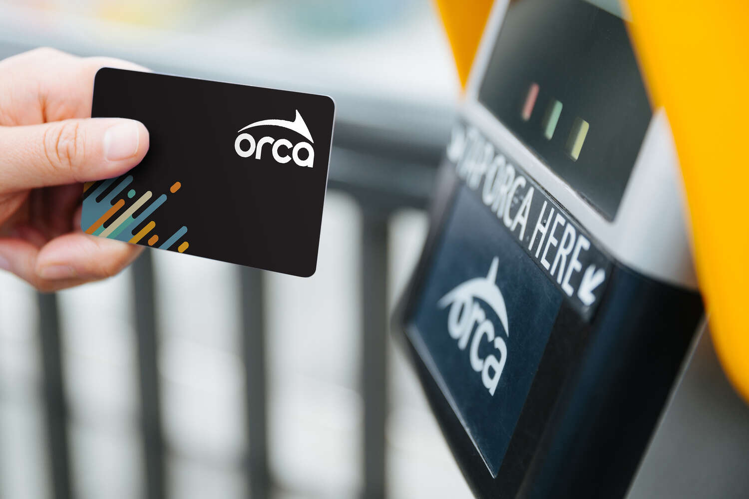
Carrying an ORCA card makes it easy to get around town, whatever transit system you use.
No ORCA card? No problem. Use the Transit GO Ticket app to buy day passes or single ride tickets for the same price.
Good to know:
- Visitors 18 and under ride all Seattle transit systems for free.
- The Seattle Monorail is privately operated and charges a $2.00 fee for kids 6-18. Kids 5 and under ride free.
- The Washington State Ferries do not accept day passes.
Start Planning Your Adventure
It’s one thing to know Seattle has abundant transportation options, and another to see them on a timeline. Consider the following day-long itineraries while you’re planning your stay, or mix and match your favorite transportation-linked activities.
Day One: The Classics
Whether it’s your first trip to Seattle or your fiftieth, it’s a joy to see Seattle’s classic visitor destinations by transit.
Start your morning wandering the recently pedestrianized Pike Place Market, which is easily accessible from the Westlake light rail station, the Seattle Streetcar, and several bus stops along Third Ave. Bring a treat out to the Overlook Walk and take the stairs or Ocean Pavilion elevator down to the new Waterfront Park, which offers tons to do in either direction. There’s a free Waterfront Shuttle during the summer to explore it all, and 1.2 miles of protected new bike lanes on the Promenade.
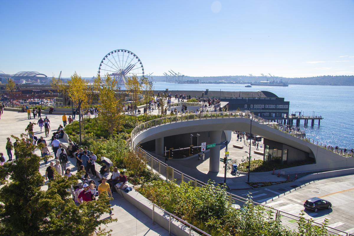
Overlook Walk connects the back of Pike Place Market to the beautiful new Waterfront Park.
Back up at Westlake Center – the mall above Westlake light rail station – is where you’ll find one end of the Seattle Monorail. It’s just a three-minute trip to Seattle Center, but it’s an exciting one, connecting you to the 74-acre home of MOPOP, Pacific Science Center, the Seattle Children’s Museum, Climate Pledge Arena, and more.
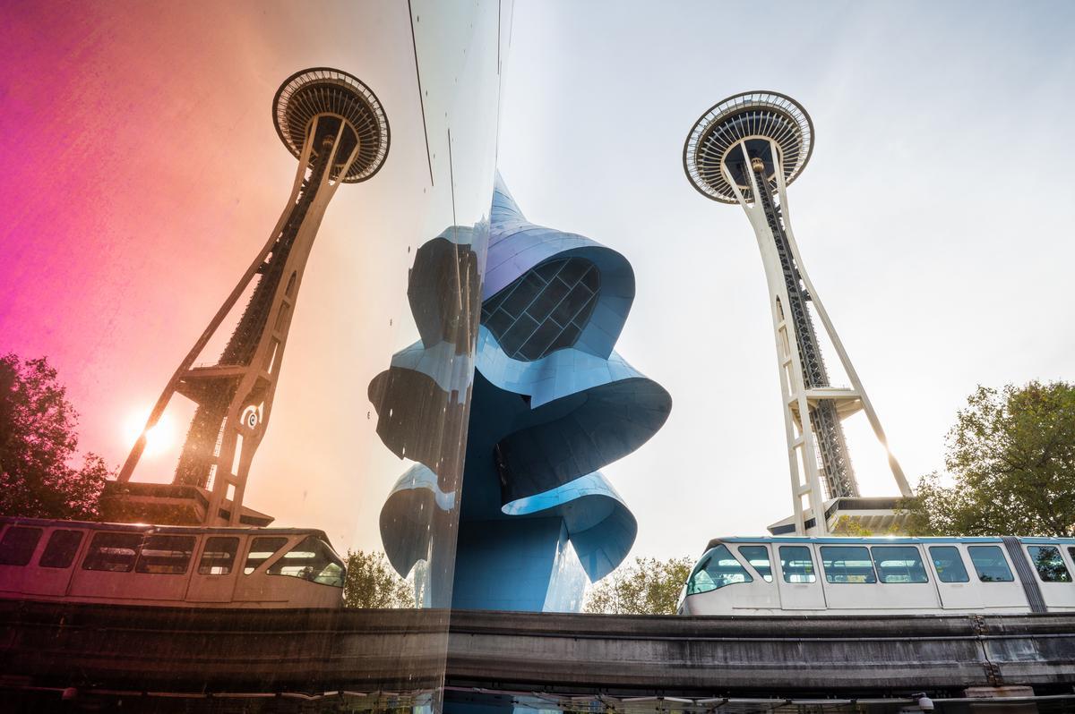
The Seattle Monorail is a blast for kids and adults alike, especially when it cuts through the metallic and multicolored MOPOP.
Photographer: Rachael Jones
From First Ave N, just outside KEXP, you can catch the 2 or 13 bus up Queen Anne hill to Kerry Park for a postcard view of the city. Walk or roll to Parsons Gardens or cute Queen Anne Ave N to round out your visit.
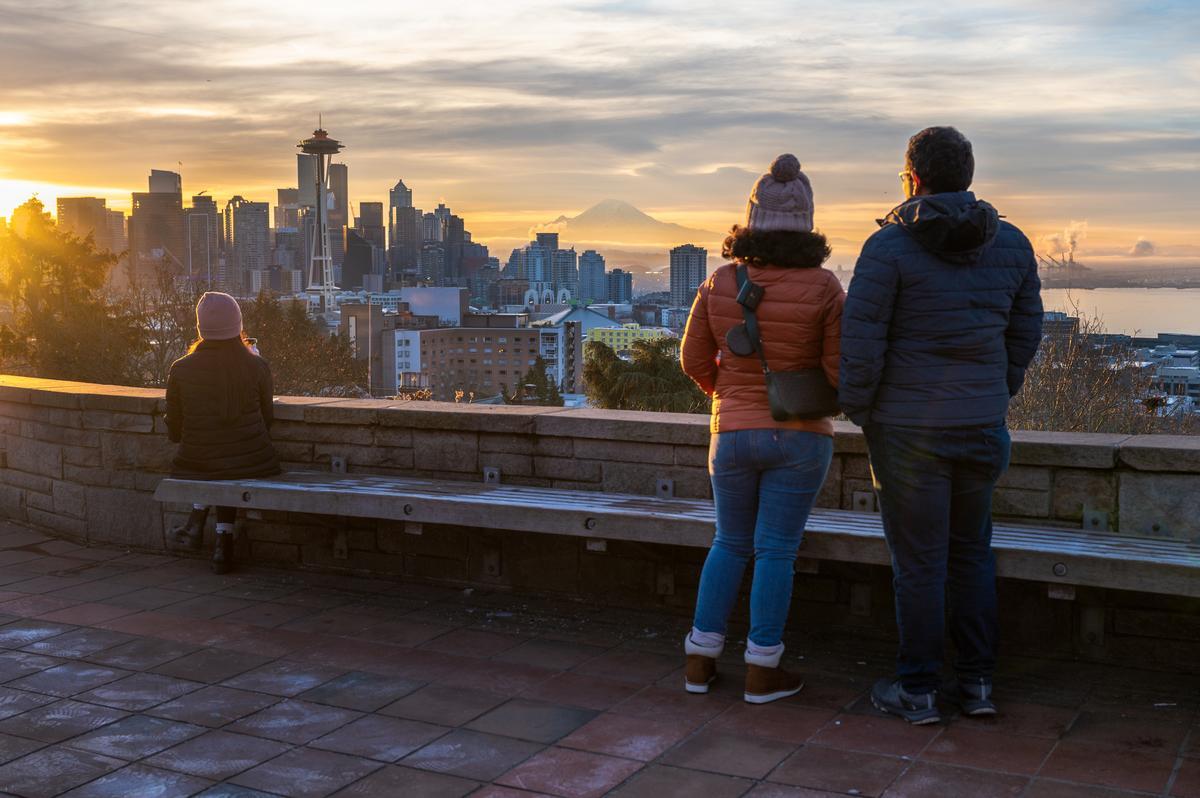
The views from Kerry Park are breathtaking – even if you took the bus uphill. Photographer: Rachael Jones
Day Two: Light Rail Neighborhoods
You could spend a lifetime exploring the neighborhoods on Seattle’s light rail system – especially when it connects to the East side across Lake Washington in 2026. Here are a handful of southbound highlights to get you started:
- Start with coffee at Bulldog News in the delightful U District and explore the shops on University Way NE, otherwise known as “the Ave”. The Burke Museum of Natural History and Culture and the University of Washington campus sit nearby.
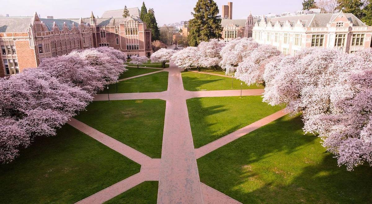
Lucky UW students: the light rail stops at both the U District, next to campus, and Husky Stadium.
- From the U District, head two stops South towards Angle Lake to the ever-cool Capitol Hill neighborhood. You can fuel up at local favorites right next to the light rail station: Glo’s Diner, Dick’s Drive-In, and Tacos Chukis are all within a block. Take some time shopping Broadway, Pine, and Pike Streets before hopping back on the light rail (or the First Hill Streetcar) and heading to Pioneer Square.
- Here you can explore Occidental Square, Habitat Beach, and the legendary history of Seattle’s most historic neighborhood: Smith Tower, an underground tour, and – if it’s not too early – a drink at the Central or Merchant’s.
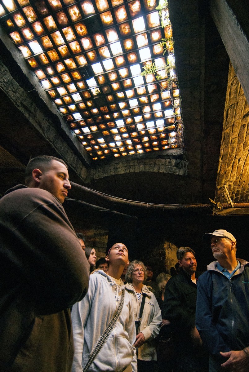
The light rail isn’t the only part of Pioneer Square you can explore underground; just check out Beneath the Streets or Bill Speidel’s Underground Tour.
- Walk or roll east on historic Jackson Street to the neighboring Chinatown-International District, or “C-ID,” for dinner. The options here are endless, with local favorites including Hood Famous, Dough Zone, E-Jae Pak Mor, Maneki, Tai Tung, Kilig, and the Uwajimaya Food Hall. Check out Zakka-Ya, Hing Hay Park, the Wing Luke Museum, Seattle Pinball Museum, and mam’s books before eating, and consider a nightcap at the no-frills Fort St. George before heading home.
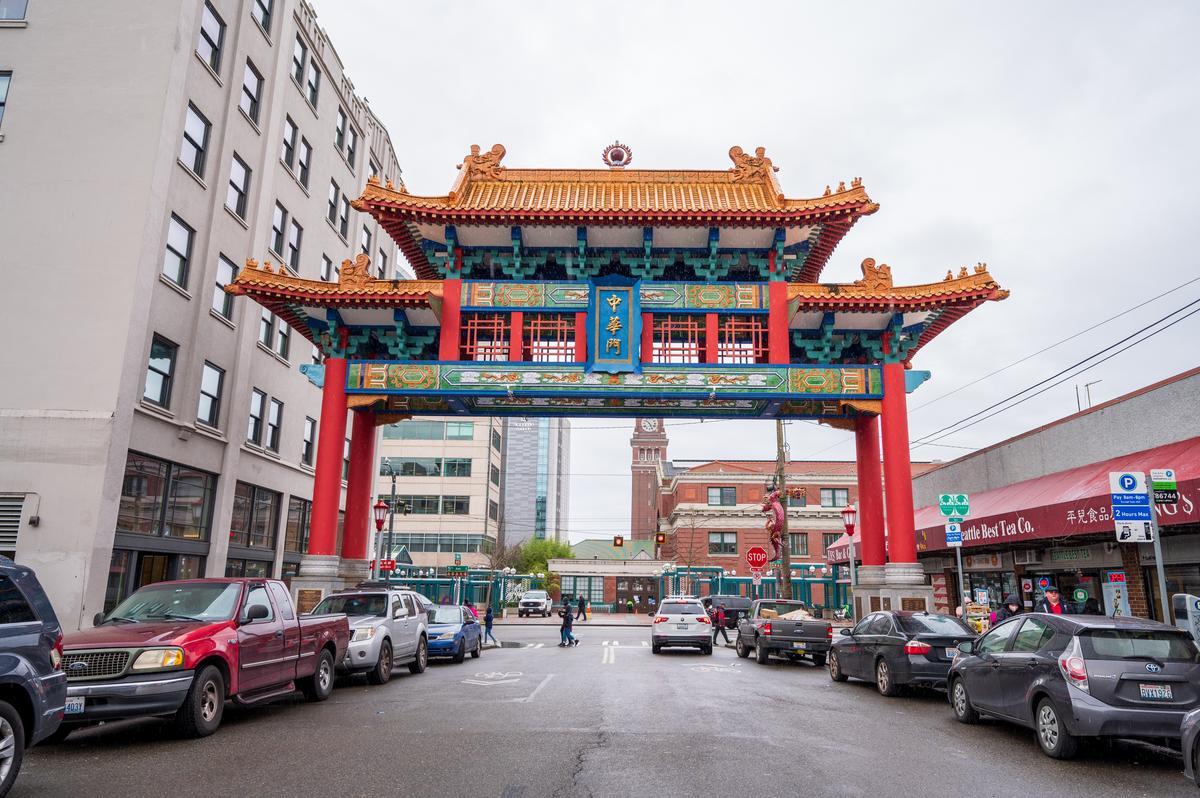
The light rail drops you right outside the Historic Chinatown Gate, marking the entrance to the food-filled C-ID. Photographer: Rachael Jones
Day Three: On the Water
Start your day by taking the 40 bus (downtown-Northgate) to Westlake Ave N for a refreshing morning exploring Lake Union aboard what will likely be the most unique transportation mode of your trip: a hot tub boat (keep an eye out for the “Sleepless in Seattle” houseboat nearby). If a sauna boat is more your thing, just take the 70 bus (downtown-University District) to Wild-Haus on the other side of the lake.
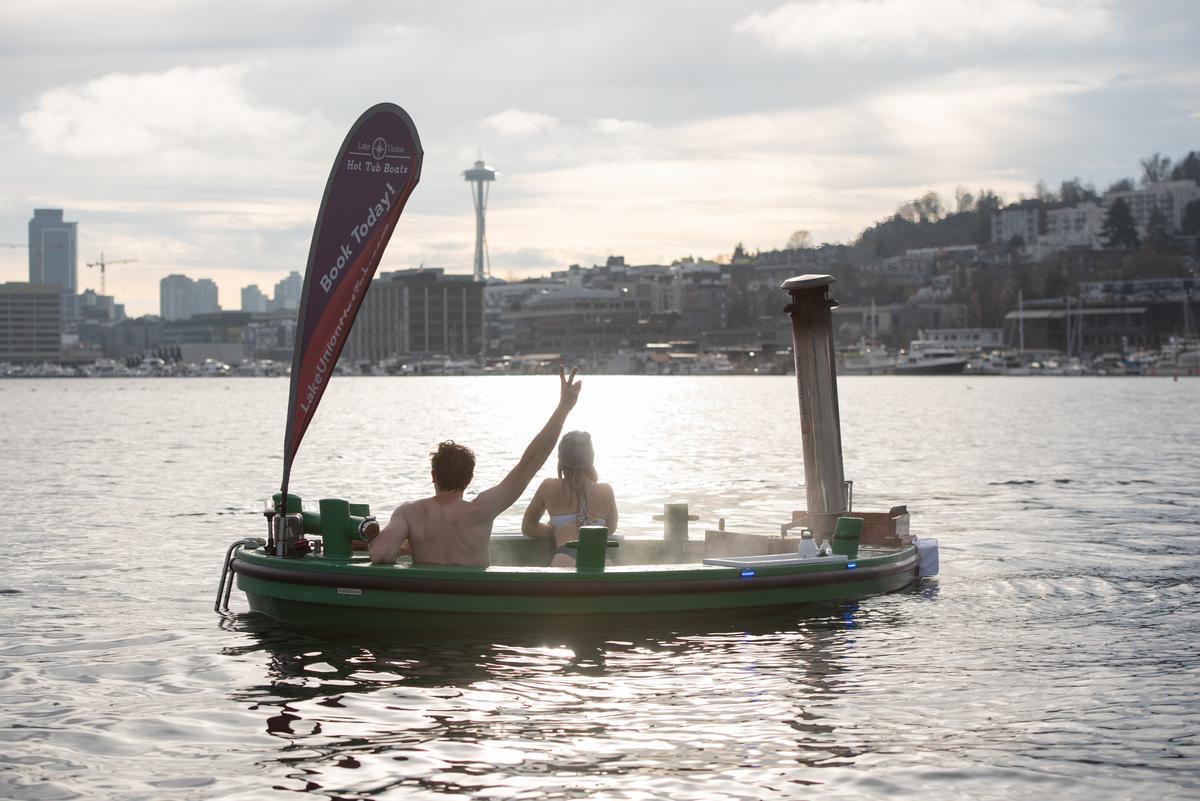
Lake Union’s hot tub and sauna boats are an invigorating way to start your day, whatever the season.
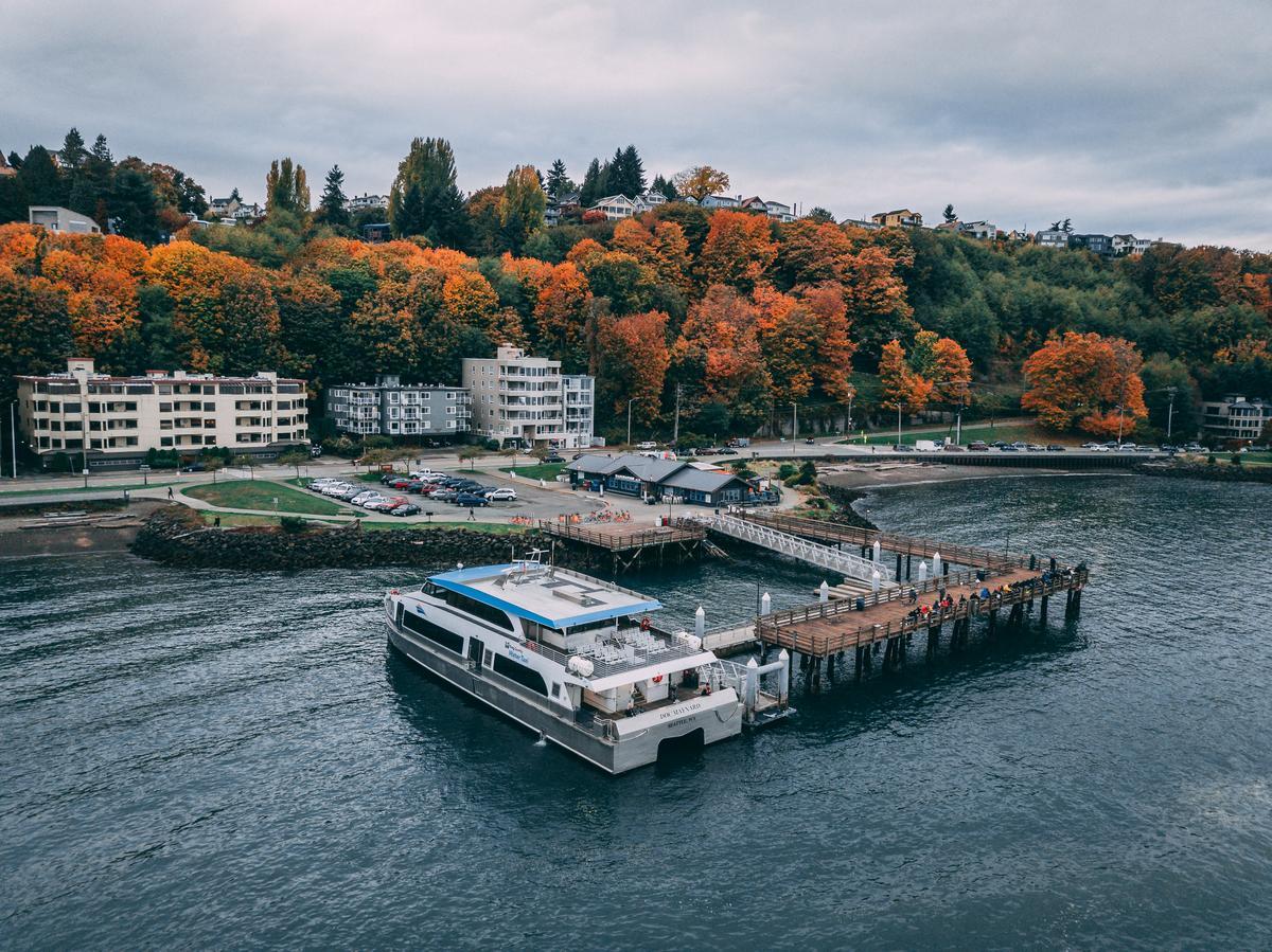
Take the bus or an e-bike or scooter to Colman Dock downtown for the big trip of the day: a ferry to Bainbridge Island. The 35-minute crossing places you on the southeast side of the island, where charming Winslow Way is navigable by foot. If you want to explore further, Bike Barn Rentals is just off the ferry terminal – at a bus stop connecting both Bainbridge Island and Kitsap Peninsula beyond it.
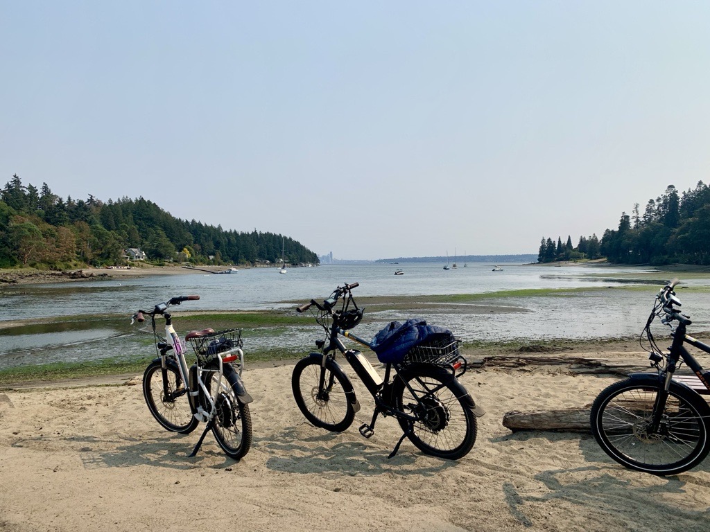
Bainbridge Island is great by e-bike – which are easy to rent near the ferry terminal.
Less time on your hands? Take the 15-minute water taxi from Pier 50 to the north end of the West Seattle peninsula, where the views of Downtown Seattle are unrivaled. Grab a bite at Marination Ma Kai or Salty’s before taking an e-bike or scooter two miles west to playful Alki Beach, or the 773 bus to shop-filled Alaska Junction.
The water taxi drops you right at tasty Marination Ma Kai in West Seattle, where the patio views of Downtown are as good as the happy hour.
Day Four: Seattle By Bike
Seattle is one of the best cities for biking in the country, and it’s just getting better. Our friends at Cascade Bicycle Club are the local experts on both where to find bikes and where to ride them, but here are two great options for sightseers:
- The 3.4 mile Elliott Bay Trail keeps you on the water’s edge from the north end of Waterfront Park past the art-filled Olympic Sculpture Park, Expedia campus, and Smith Cove Cruise Terminal. Your destination is lush Magnolia, where you can celebrate your ride with a drink at upscale Palisade or the more casual Maggie Bluffs (get the crab dip) while admiring the boats at Elliott Bay Marina – and the view looking back at Downtown.
- The 20-mile Burke-Gilman Trail is a classic, hugging well-known waterways on the northern side of the city. Start at Golden Gardens Park and ride through beloved the Ballard, Fremont, and Wallingford neighborhoods. Pitstop opportunities abound, with the Ballard Locks, Gas Works Park, Gas Works Brewing, Westward, or Ivar’s Salmon House all along your route. From there, you can ride the remaining 12 miles to the northern end of Lake Washington, passing Husky Stadium, University Village shopping center, Magnuson Park, and Matthews Beach Park.
Pro tip: check out the Seattle Department of Transportation’s Bike Map to see protected lanes, multi-use trails, and more helpful details for bike paths across the region.
The Burke-Gilman Trail carries you past some of Seattle’s most iconic settings, from log-covered beaches to breweries. Photographer:
Rachael Jones
Enjoying The Ride
A car may be the most convenient way to see Seattle – it’s up for debate – but you’ll experience a lot more of the city by using its plentiful (and beautiful) transportation systems. Remember to give yourself extra time while you’re figuring them out, and enjoy the journey. There’s tons to see!
About the Author
Bobbie Nickel
Bobbie Nickel is the Public Affairs Manager at Visit Seattle. A longtime former news producer, she’s chronically online—but when she’s not busy tracking regional developments, she’s likely playing with her kitten Toaster or exploring the area’s dive bars by way of public transportation.
More Posts By Bobbie NickelSubscribe to the Seattle Localist
Seattle’s best every month in your inbox
Book Your Trip
Advertisements